
Savannah Neighbors by Source
No official source is a complete list of Savannah neighbors. SAGIS shows the physical parcels around a point. The assessor connects each parcel to its titled owner and mailing address. Voter data has lawful-use limits and omits nonvoters, while neighborhood associations publish officers, meetings, and ways to make contact rather than member rosters. Older directories and maps can show how the block changed.
| Source | What It Shows About a Block | Access |
|---|---|---|
| SAGIS Map Viewer | Parcel shapes, nearby lots, boundaries, and map layers | Free public viewer |
| Chatham assessor roll | Owner, mailing and situs addresses, parcel details | Free online search |
| Georgia voter records | Limited registered-voter facts where law permits | Authenticated self-lookup or ordered list |
| Open Neighborhoods | Association name, public contact, nearby civic features | Free address lookup |
| City directory street indexes | Named historic occupants and businesses by number | Library and digital collections |
A parcel owner may live elsewhere. The assessor even keeps the physical, or situs, address separate from the owner's mailing address. A matching mailing address or homestead indicator can support owner occupancy, but neither identifies all people at the home. Record the source and date for each name so an old sale or stale directory entry does not become a current claim.
Map a Savannah Block
The SAGIS Map Viewer turns one known address into a repeatable block search. Its parcel layer draws the legal lots, aerial imagery adds visual context, and identify tools connect mapped shapes to assessor facts. Map neighbors are spatial facts only. Being next door or across the street says nothing about a personal relationship.
- Search the property address without unnecessary punctuation. The SAGIS guide recommends forms such as “110 E State,” omitting the street suffix.
- Zoom until parcel boundaries appear, then identify the target and record its PIN.
- Click each adjoining polygon and the parcels across the street. Copy the PIN or follow the property-report link.
- Compare owner mailing and situs addresses. Treat any homestead flag as support, not a complete resident list.
- Use Near Me or selection tools when available, or move around the map in a fixed clockwise order.
SAGIS also provides neighborhood, ward, historic-district, zoning, municipal-boundary, annexation, flood, school, transit, and community-center layers. Those layers explain which local body serves a block. They are informational rather than survey evidence, so deeds and plats control legal boundaries. For a whole named road instead of the immediate radius, use the Savannah street directory workflow.
Savannah Neighborhood Contacts
Open Neighborhoods accepts an address and returns the mapped neighborhood, registered association, and public contact. It launched in 2017 and is updated annually. The map can also overlay aldermanic districts, parks, bikeways, community centers, grocery stores, libraries, transit stops, and schools.
Savannah has organized communities across the city, but status and contacts can change. The live map is the right check for a current association.
Historic and Central
Downtown, Victorian, Thomas Square, and Ardsley Park groups publish civic contacts and meeting details.
East and West
Eastside, Gordonston, Woodville, Hudson Hill/Bayview, and West Savannah groups connect blocks to local projects.
Southside
Tatemville, Windsor Forest, Kensington Park, and other Southside groups appear through the annual map.
These are association contacts, not a directory of private members. A public officer or meeting notice helps someone join civic life without exposing who lives in every home.
Savannah Voter Record Boundaries
Georgia My Voter Page is designed for a voter's own record. It requires first initial, last name, county, and date of birth, then returns status, polling place, districts, sample ballot, and participation history. It is not a browse-by-street tool for Savannah neighbors.
Georgia voter lists are separately orderable under state election law. Public fields can include a residence address and participation facts, but Social Security numbers, state ID numbers, full dates of birth, phone numbers, email addresses, and VoteSafe-protected locations are withheld or restricted. Georgia does not register voters by party, and participation history never reveals a candidate choice.
Nonvoters, children, and many renters will not appear. VoteSafe protects qualifying registration addresses, while Safe at Home is a distinct statewide address-confidentiality program. A blank result can therefore reflect privacy, eligibility, or source limits rather than an empty house.
Note: Use the Chatham County elections office for lawful precinct extracts and historical poll material, not an authenticated self-service lookup.
Savannah Block Records Compared
Official rolls and commercial neighbor tools answer different questions. County and state records disclose a defined field, custodian, and update process. Commercial products blend parcel, marketing, and old address data, which can attach the wrong person to a Savannah home.
| Source type | Best supported use | Main limit |
|---|---|---|
| Assessor and SAGIS | Map parcels and identify titled owners | Ownership is not full occupancy |
| Association contact map | Find a civic group and public contact | No private membership roster |
| Commercial neighbor tool | Possible lead for further checking | Mixed sources, uncertain age and accuracy |
For reliable block notes, retain the official URL, search date, and parcel ID. Confirm a name in a second lawful source before treating it as current.
Community Memory Around Savannah Blocks
Parcel cards show lines and owners, but neighborhood archives explain how a place was used. Savannah's Community Memory and StoryRoots projects collect resident-submitted photographs, oral histories, and place narratives. Holdings cover Eastside, Edgemere-Sackville, Tatemville and Feiler Park, White Bluff, Woodville, and other communities across wide date spans.
In 2025, more than 400 audiovisual items from the W. W. Law collection were digitized. The material documents African American civic networks and adds voices that do not appear in a tax roll. It is context, not an official occupancy list, so names and dates still need corroboration.
The Savannah Community Memory project update shows how local collecting fills gaps between formal records.
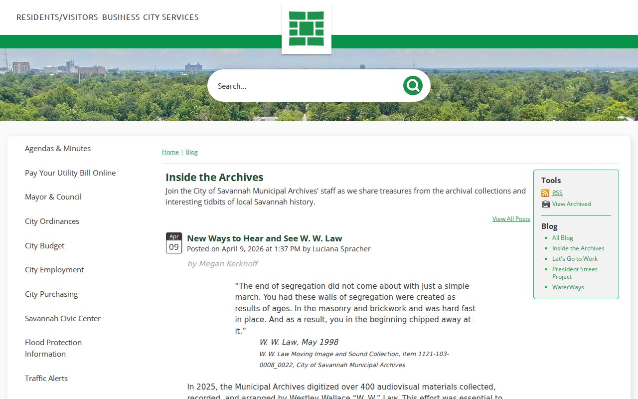
The image represents the human layer around a block, which should be read beside maps and official indexes.
Savannah Neighbor Records Over Time
A present parcel map is only one frame in a Savannah block's history. City directory street indexes can list occupants and businesses by house number, while Sanborn maps show building footprints, uses, and the numbering used in a given map edition. Public federal census schedules through 1950 add household members. Compare the nearest cross street and the block shape before deciding that an old number is the same site.
Savannah's source choice changes with its geography. Ward and lot records work well in the colonial core. Directories and Sanborn sheets are strong in the Victorian and streetcar city. Subdivision plats, assessor cards, and permit records are more useful for later Southside and island growth. Neighborhood names help describe place, but they are not legal boundaries unless a City or SAGIS layer defines them.
Historical blocks also reflect migration and public works. West Savannah's Canal District developed through African American and Irish labor, and I-16 construction divided part of west Savannah in the 1960s. Streetcar growth moved the city south of Victory Drive after World War I. These changes explain why a household may shift between a directory, map, and civic collection without moving in the simple way a modern address search suggests.
Savannah Neighbor Safety Records
Use official public-safety databases only for the narrow fact each agency publishes. The Chatham County Sheriff inmate search reports custody information. The Georgia Department of Corrections query covers state correctional records. The Georgia Bureau of Investigation registry provides the state's official registry search.
A result needs identity checks and current agency context. Similar names, an old address, or a past custody event can produce a false assumption about who lives nearby now. These systems do not define the character of a person, household, or block.
The Georgia corrections query shown below is one official route, but it should never replace parcel verification or the agency's current record details.
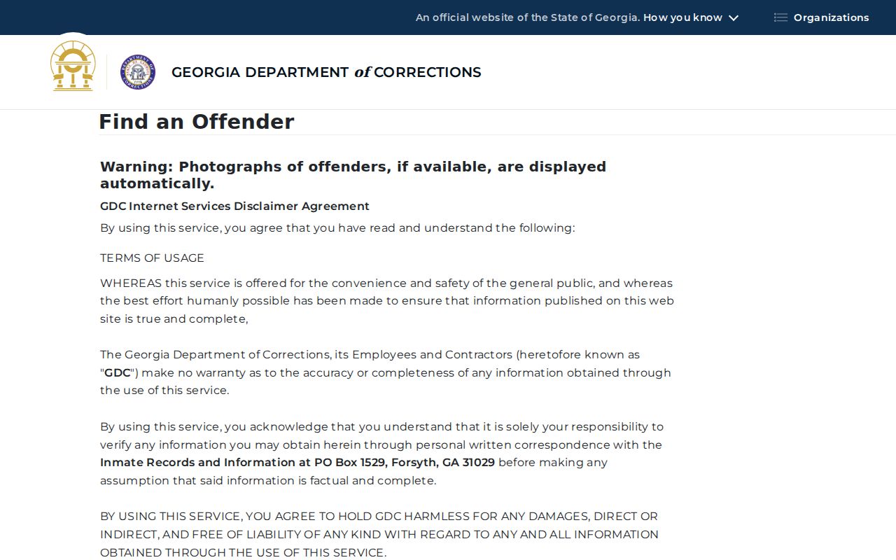
The screen illustrates a focused state index, not a general Savannah neighbors directory.
Limits on Savannah Neighbor Lookup
Utility customer files and motor-vehicle addresses are not open block directories. The federal Driver's Privacy Protection Act limits disclosure of motor-vehicle personal data. Household relationships, children, most renter information, and private association rosters also remain outside the open parcel map.
Public safety sources have narrow meanings. A jail roster reports present custody, not guilt or residence. A corrections result reflects a state record, and a registry entry must be read through the official agency's terms and current details. None should be turned into a broad label for a Savannah block or everyone at an address.
Ask what each record proves. The assessor proves titled ownership as of its update. SAGIS proves mapped proximity at its published accuracy. An association page proves a public contact. Anything more needs support.
Lawful use. Savannah neighbor lookups are for civic contact, reconnecting, and personal safety awareness. Never use public information to watch, threaten, intimidate, or harass anyone.