
Savannah Previous Resident Sources
Savannah previous residents appear in records made for different reasons. The Chatham County deed index names people who transferred title. Savannah city directories identify many occupants, including boarders and renters, while census schedules show whole households when the released year includes enough address detail. City tax digests and permit records describe the site from another angle. Start in the era closest to the known fact, then work toward the unknown period.
| Source | Years It Covers | Where Held | What It Shows |
|---|---|---|---|
| GSCCCA deed index | At least 1999 to present | GSCCCA and Superior Court Clerk | Parties, instrument, book/page, property terms |
| Savannah city directories | 1848 onward, with gaps | Kaye Kole Room, DLG, Ancestry, GHS | Named occupants, spouse, work, street address |
| City tax digests | 1809 to 1903 | Municipal Archives and Bull Street microfilm | Taxpayer and property links |
| Federal census | Public through 1950 | NARA and library databases | Household members and later street addresses |
| Sanborn maps | 1884 to 1973 across local holdings | City Archives and GHS | Building form, use, block, and number changes |
| Permit files | 1866 onward in several series | Municipal Archives and Development Services | Work, applicant, contractor, and date |
For a recent sale, use the parcel card and deed first. For a mid-century household, search the directory street index and the public census nearest that year. Downtown research may begin with a ward and lot because that description can outlast a street number. No one row proves every person lived at the site. Ownership, occupancy, and building history are separate questions.
Start With Savannah's Parcel
The Chatham County Board of Assessors search supplies the present owner, situs address, mailing address, parcel ID, legal description, sales data, and often a deed book and page. A situs address is the physical site. The owner's mailing address may be elsewhere, so it does not prove occupancy.
Copy the parcel ID and legal description exactly. In Savannah's historic core, ward and lot can be more stable than the number painted on a door. Subdivision, block, and lot do the same job in later areas. These terms let a researcher recognize the same land after renumbering, subdivision, or a change in street name.
Note: A homestead flag supports possible owner occupancy, but it never identifies every person who shared the household.
Trace Chatham's Previous Owners
A backward deed chain begins with the current acquisition deed. The GSCCCA Real Estate Index can be searched by county, name, date, party role, instrument type, book/page, and some property terms. Use recording dates to order the chain. A signing date can differ from the date the clerk entered the deed.
- Record the current owner's name, parcel ID, sale reference, and legal description from the assessor card.
- Open the purchase deed by book and page, then note its grantor, grantee, recording date, and land description.
- Search the seller as an earlier grantee. Limit the result to Chatham County and compare the property description.
- Repeat from deed to deed. Keep a simple log so similarly named people and unrelated parcels do not merge.
- At the online boundary, continue in the courthouse grantor/grantee books, public terminals, or microfilm.
- Grantor / grantee
- The grantor transfers an interest; the grantee receives it.
- Chain of title
- The linked sequence of recorded transfers for the same land.
- Legal description
- The ward, lot, subdivision, block, or boundary wording that identifies land even when its street address changes.
Savannah Deeds Beyond the Web
The standardized statewide deed index is assured from at least 1999, but that is not proof of Chatham County's exact online start. Older previous-resident work moves to the Chatham County Clerk of Superior Court. The Real Estate Division maintains public computers at 133 Montgomery Street, Room 304, on weekdays from 8 a.m. to 5 p.m. The Garden City Records Center holds deed books, plats, maps, and microfilm, and may require an appointment for physical files.
In-office viewing and searching are free. Copies are listed at $0.50 per page, with certification extra. Mail requests use the office form, a check or money order, and the Real Estate Division post-office address. GSCCCA eCertification is another route for electronically certified records. Clerk staff can explain access, but they do not perform a title search.
The archival cutoff is a handoff, not a dead end. Savannah's surviving deed indexing begins far earlier than the statewide baseline, and county books can be paired with Georgia Archives material when a particular series is not at the main counter.
The source view below comes from the Chatham Superior Court Clerk. It is the official starting point for record-room access and older deed work.
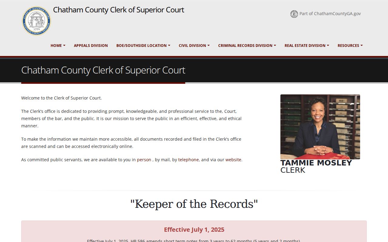
The clerk page connects an online search to the physical books that extend the previous-owner trail.
Savannah Maps Stabilize Addresses
Sanborn fire-insurance sheets can settle whether two records describe the same building. Savannah holdings include examples from 1884, 1888 or 1889, 1898, 1916, 1922, and 1955, with later paste-in revisions depending on the volume. The maps show street names, house and block numbers, footprints, materials, and uses. Compare the sheet index, nearby cross streets, and ward or lot with the directory entry.
The City's Building Research Checklist adds tax digests, assessments, transfer books, ground-rent files, survey applications, ward maps, improvement books, and permit series. Building permits span 1899 to 1937, while applications survive in runs from 1866 to 1908 and 1959 to 1977. Council permits from 1909 to 1941 are especially useful, with 1909 to 1919 indexed by street or ward.
A permit dates work on a structure. It does not prove that the applicant owned or lived there. Historic Savannah Ward Notebooks, with about 2,000 survey cards and 1,500 photographs made from 1962 to 1966, can supply the missing visual layer between an old map and today's parcel.
Note: Repository labels differ on one early Sanborn year, so cite the exact City, DLG, or GHS volume actually consulted.
Savannah Address Records by Ward
Downtown Savannah previous residents can disappear when a search relies on a modern house number alone. The colonial ward-and-lot plan gives the land a second identity. Historic deeds, tax digests, survey applications, and maps may use a ward name and lot number even when a directory uses a street address. Compare both forms at every step. Bull Street also serves as a key reference in the historic grid, and an east or west prefix can separate two otherwise similar addresses.
The Municipal Archives' private-property survey index is divided by ward-name ranges, and engineering holdings include maps spanning 1756 to 2019 plus major subdivision maps from 1871 to 1972. City-lot deeds cover 1850 to 1933, transfer books cover 1869 to 1926, and ground-rent records reach from 1791 to 1963. Each series can bridge a period when the familiar street number is absent.
Outside the historic core, use subdivision, block, lot, or a metes-and-bounds description, which describes land through measured boundary lines. Plats connect those older terms to the modern parcel. This geography-first method prevents a researcher from following a nearby building merely because it later carried the same number.
Savannah Past Household Records
Owners are only half the story. Savannah directories often list a head of household, spouse, occupation, employer, and residence. Their street indexes reverse the search, letting a house number lead to an occupant. The digitized directory run at the Digital Library of Georgia reaches from 1871 through 1959, while local repositories hold a longer, uneven series. Collection details belong on the Savannah city directory page.
Use the records in a set order:
- Find the address in a directory's street index and record the nearest cross street.
- Verify each named person in the alphabetic section, noting spouse, work, and abbreviations.
- Move year by year and watch for a new address, widow notation, or a different employer.
- Pair the run with released federal censuses through 1950 to identify household members.
- Return to the deed chain to distinguish occupants from titled owners.
When a person vanishes, do not assume death. A missed issue, a move, annexation, or renumbering may explain the break. Obituaries, Probate Court estate files, cemetery records, and digitized funeral programs can connect a deceased resident to relatives or a later place. More than 400 Savannah funeral programs are digitized, chiefly for twentieth-century African American residents.
Search tip. Use a directory street index by cross street, then verify the same name in the alphabetic listings before accepting the match.
The Savannah Municipal Archives collection portal shows how city-held maps, registers, photographs, and guides extend the house trail.
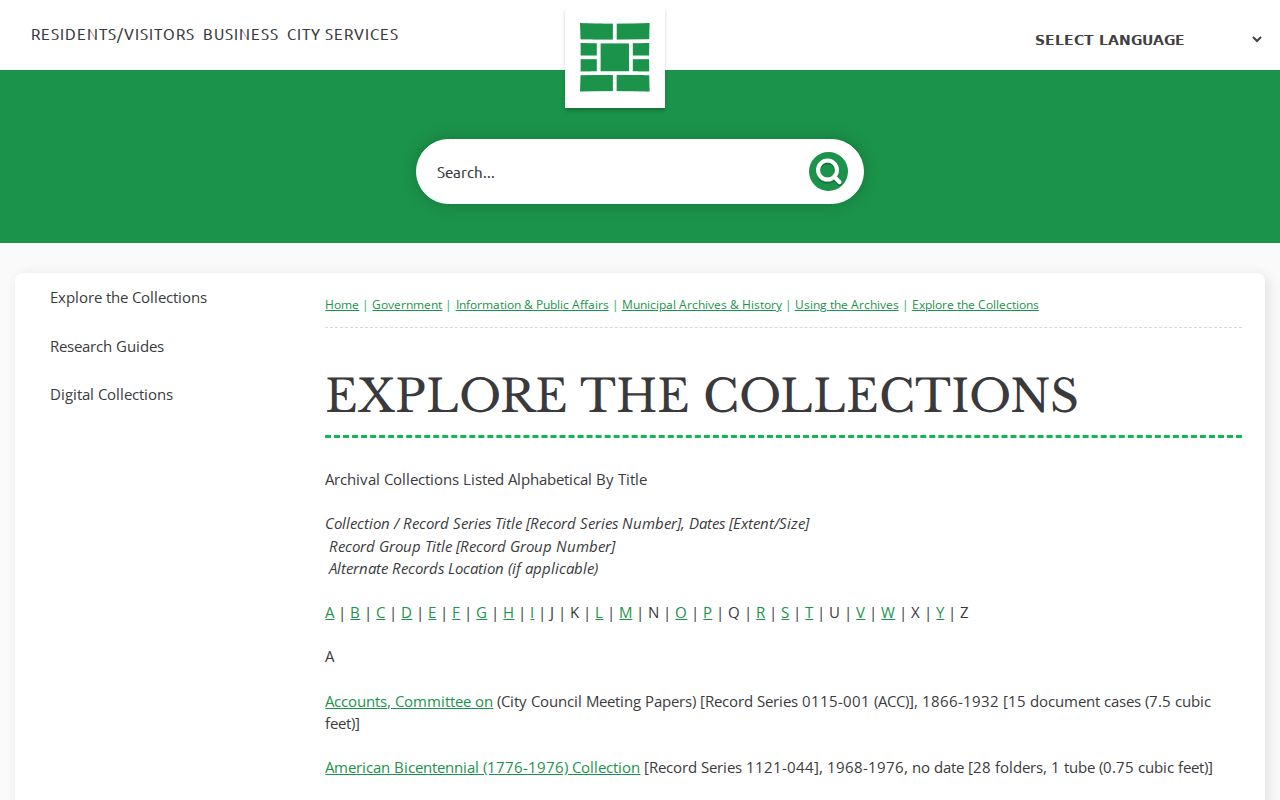
Those collections add occupants and neighborhood context that a deed index cannot supply.
Lawful use. Savannah previous-resident research supports house history, genealogy, and heir work. Never use a record trail to track, intimidate, or harass a living person.